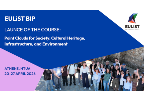
EULiST BIP: “Point Clouds for Society: Cultural Heritage, Infrastructure, and Environment” just started in NTUA, Athens
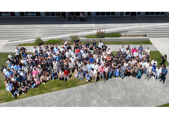
On Monday, April 20, the School of Rural, Surveying and Geoinformatics Engineering at the National Technical University of Athens welcomed more than 30 students from member universities of the EULiST (European Universities Linking Society and Technology) Alliance, marking the launch of the on-site component of the Erasmus+ Blended Intensive Program (BIP) “Point Clouds for Society: Cultural Heritage, Infrastructure, and Environment.”
The program aims to explore the application of 3D point clouds in cultural heritage documentation, infrastructure monitoring, and environmental analysis, using state-of-the-art methodologies such as photogrammetry, laser scanning, and LiDAR applications with unmanned aerial vehicles.
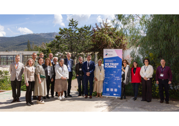
The opening event was held at the School’s Central Amphitheatre in Lampadario. The students were welcomed by the Dean of the School, Professor Maria Tsakiri; the Head of the Department of International Relations and European Union at NTUA and EULiST NTUA Coordinator, Antonia Lampropoulou; the Director of the NTUA Geodesy Laboratory, Professor Georgios Pantazis; and the BIP Coordinator, Professor Effie Dimopoulou.
This was followed by a presentation of the agenda for the on-site component of the BIP by Assistant Professor Georgios Piniotis, NTUA researcher Dr. Styliani Verykokou, and representatives of EULiST.
During the week (April 20–27, 2026), participating students will gain a comprehensive learning experience through:
➢ Fieldwork at the Monastery of Kynigou, on the northern slopes of Mount Hymettus
➢ Data processing sessions and lectures at the NTUA Geodesy and Photogrammetry Laboratories
➢ Teamwork and skills development
➢ Cultural activities in Athens
➢ Presentation of results and dissemination of knowledge