From the EULiST BIP to Scientific Research: «Integrated 3D Documentation of Cultural Heritage Using Photogrammetry and SLAM»
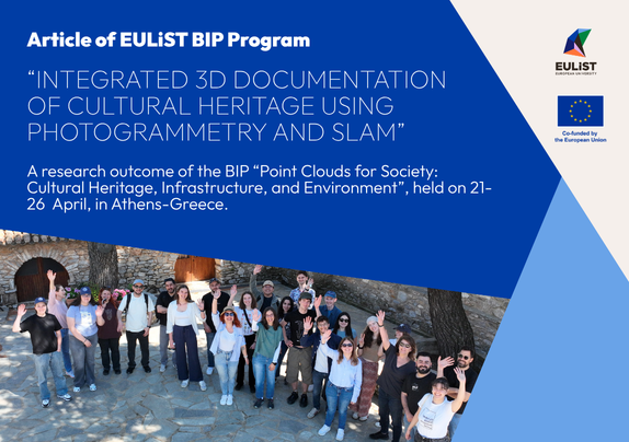
A research outcome of the BIP “Point Clouds for Society: Cultural Heritage, Infrastructure, and Environment”, held on 21-26 April, in Athens-Greece.
The collaborative work carried out during this EULiST Blended Intensive Program (BIP) has led to a new scientific publication in the ISPRS International Journal of Geo-Information.
The paper, entitled “Integrating Photogrammetry and SLAM for the 3D Geometric Documentation of Cultural Heritage Monuments: A Reproducible Multi-Sensor Workflow Supported by an Open Dataset”, presents the results of the 3D documentation activities conducted at the Holy Monastery of St. John the Hunter (Agios Ioannis Kynigos) in Attica, Greece, during the BIP.
The study investigates the complementary use of photogrammetry and SLAM technology for the three-dimensional geometric documentation of complex cultural heritage monuments. By combining UAV and terrestrial photogrammetry with SLAM-based mapping and geodetic control, the research develops an integrated workflow for documenting both exterior and interior spaces and evaluates the geometric consistency of the resulting point clouds.
A key outcome of the work is the CH-PhotoSLAM3D open dataset, which brings together multi-sensor data and derived products from the case study and is intended to support reproducibility and further research in 3D cultural heritage documentation.
The publication represents a significant scientific outcome of the EULiST BIP, demonstrating how international collaboration, hands-on learning and field-based research can develop into a peer-reviewed scientific contribution and a reusable research resource.
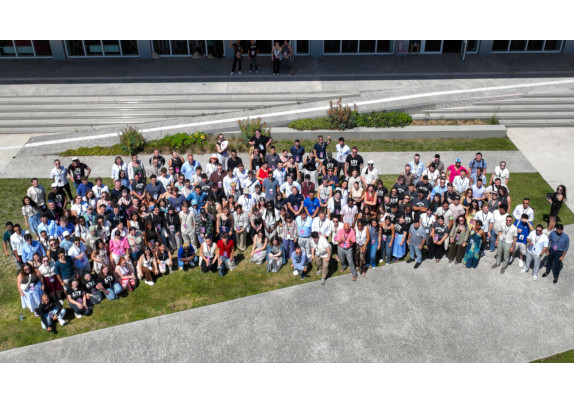
The BIP was hosted by the School of Rural, Surveying and Geoinformatics Engineering of the National Technical University of Athens (NTUA), within the EULiST Alliance, with scientific coordination by Prof. Efi Dimopoulou. The programme brought together students and academics from five EULiST partner universities and combined lectures, fieldwork, data processing and collaborative research activities.
Scientific publication:
Verykokou, S., Nikolitsas, K., Piniotis, G., Chliverou, R., & Dimopoulou, E. (2026). Integrating Photogrammetry and SLAM for the 3D Geometric Documentation of Cultural Heritage Monuments: A Reproducible Multi-Sensor Workflow Supported by an Open Dataset. ISPRS International Journal of Geo-Information, 15, 404. DOI: 10.3390/ijgi15090404.